Diez Vistas Trail
Please note that these images were scanned with our defective scanner.
Please disregard the large ghosting in the images.
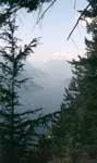
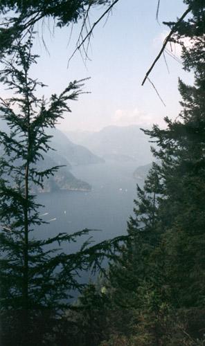
This is the view up Indian Arm.

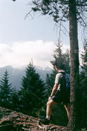
Mark overlooking the arm. This is the first good view after the long
chug up the ridge

ahhhhh. Early morning before we hiked around.

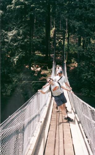
The cool hydro bridge at the end of the lake.
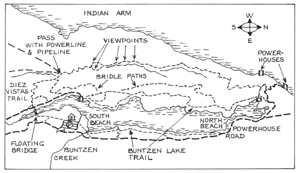
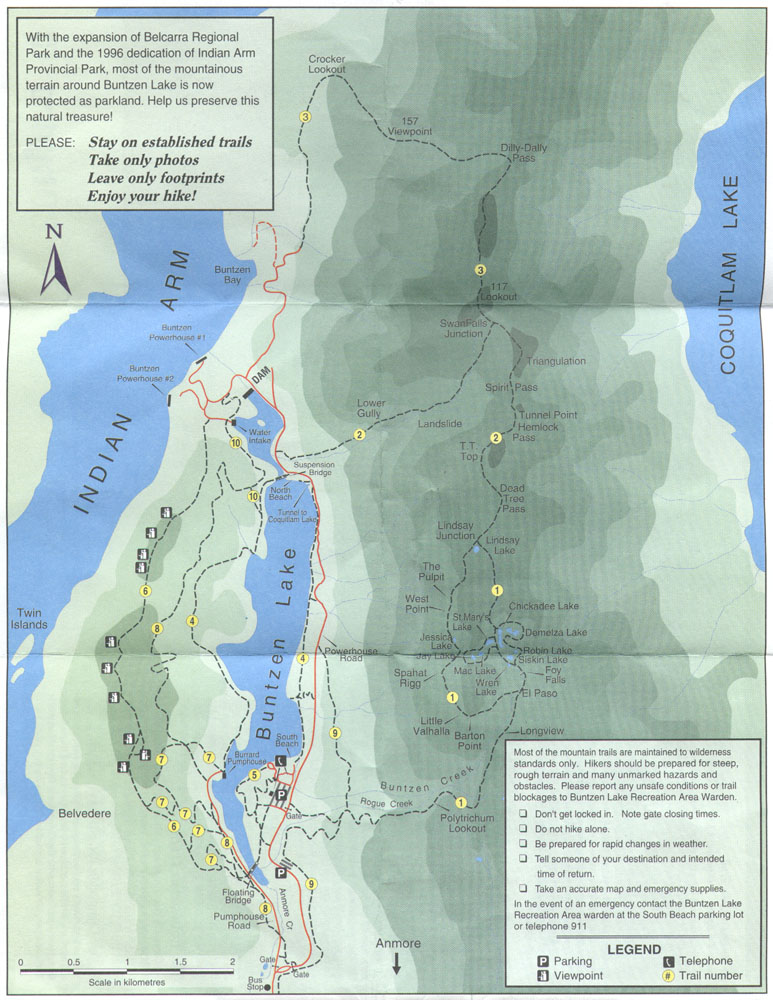
The map as provided by BC Hydro.
From: John Harvey Photo > Diez Vistas Trail
From: John Harvey Photo > John Harvey Photo - Hiking > Diez Vistas Trail
Last Modified Tuesday, June 9th, 2009 at 00:38:56 Edit
Copyright and Contact Information.