

|
|
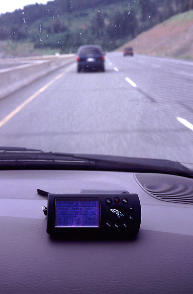
GPS on Coquihalla
19 of 36 from Merritt trip - 50°N, 121°W Confluence Point |
|


|
|


|

|
|
| Camera: | Nikon F100 |
| Date: | Saturday, July 14th, 2001 |
| Film: | Fuji Velvia 50 (slide) |
| Lens: | 28-70mm f/2.8 ED-IF AF-S Zoom-Nikkor |
| Photographer: | David Schaub |
| Tag: | driving |
| Larger image: | 1315 x 2000 |
John Harvey Photo > John Harvey Photo - Camping > Merritt trip - 50°N, 121°W Confluence Point > GPS on Coquihalla
Last Modified Saturday, January 21st, 2023 at 23:39:13. Edit
Copyright and Contact Information.
David is taking pictures! We're on the Coquihalla driving towards Merritt, following Sean
in the van ahead. The GPS says were doing 125kph.