
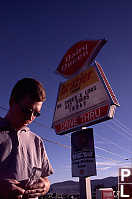
Merritt

 Chasing the 50°N,
121°W Confluence Point
Chasing the 50°N,
121°W Confluence Point
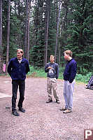
On the road again!
Sean first discovered the
Confluence
project and told us about the project. The project is to get
people to visit every integer confluence of longitude and latitude around
the world and post pictures on their web page. We chose 50°N, 121°W
because it's close to Vancouver and it didn't look impossible to get to.
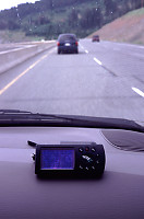
We rented two mini vans and Friday afternoon we hit the road!
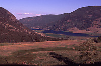
Our first destination was Merritt - it's close to the confluence point
and our camp site -
Lac
Le Jeune. We left Vancouver around 4, got into Merritt around 7
and the camp site around 8pm.
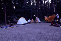
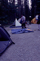
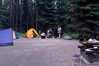
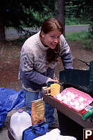
With the light failing we set up camp. (I was inspired by a
shot at Pender to do
the time laps photos.) As Sean once said - all BC camp sites look the
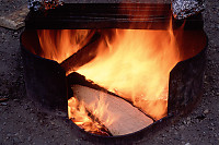
same. This one was no different - the stock gravel pad, the same wooden
picnic table, the same fire pits - but it was a nice place to call home.
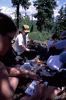
The next morning we made breakfast (pancakes) and got ready for our rough
hike.
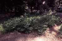
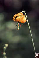
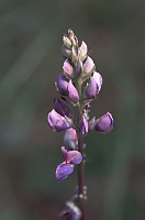
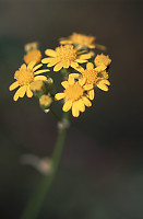
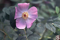
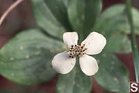
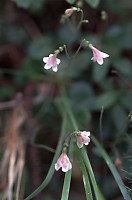
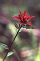
This little patch
of flowers was in a clearing behind our camp site. I went over to take
a picture of a rose and then noticed the lily. The more I looked, the
more species of flowers I saw. Tiger Lily, Artic Lupine, some yellow
flower. Nootka Rose, Bunchberry. Some pink flower, Paintbrush.
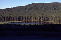
Enough flowers - time to find the confluence point! Lac Le Jeune
is about an hour drive away from the confluence point so we got in the mini
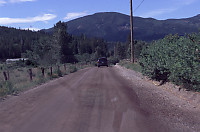
vans and hit the road. First we had to get back to Merritt - high speed
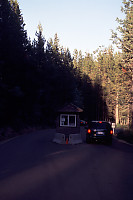
highway. We then took Coldwater Road (east of town) then Patchett Road
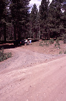
(spur) until we got to the cart track where we parked the mini vans.
From there it was a hike!
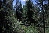
The Hike There:
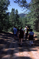
After parking the cars we set
out on the dirt track. At this point the the road was wide and we could
have driven the mini vans down (it turns out or contract says we won't drive
the rental car off road. ) After a short walk we came up to a cattle
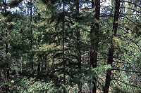
fence and the road quickly degraded to 4x4 only.
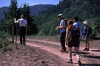
We reached the top of the hill (lined up the east/west number on the GPS)
and then headed south cross country to get to the confluence point.
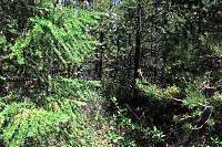
We figured the confluence point was in the valley between the two hills but
when we got to the bottom (quite mucky) we realized we had to go up the other
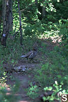
hill. As we started up the next hill we noticed a nicer path than the
bush we were wacking though and we saw a Ruffed grouse - a nice surprise!
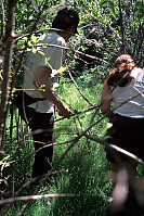
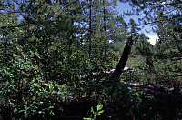
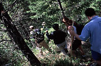
Quickly enough, we closed in on the confluence point. The point we
got is pretty boring - it's just trees and grass.
The four directions (N,E,S,W)
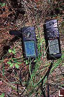
And here's the GPS's telling us we are pretty close. (49°
59.998' N, 120° 59.997' W)
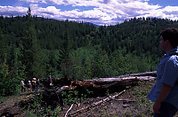
We walked a little ways up the hill (about 30 meters) and got to the top of
the hill and a great panoramic view!
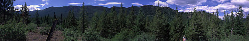
We had lunch on the top in the nice breeze and relaxed for a little while.
Shortly there after we headed back down the hill. Our goal was to hit
the trail we found when walking up and follow it out as far as it would go.
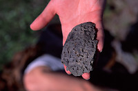
As we walked, Jer reached down and picked up a stone. It was a cool
lava remnant. We kept walking - the trail turned out to be a pretty
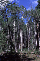
direct route to the cart track which took us back to the cars. I noticed
a stand of birch
We walked back to the cars, got in, and I dropped my camera! The
F100 was on top of the tripod and I somehow knocked over the tripod.
I jammed the 105mm micro and bent the base plate of the camera where the camera
screwed into the tripod. I didn't feel inspired to take pictures after
that so the trip ends here!
Tags: Do Not Tag(12), flower(7), camping(4), tent(3), hiking(2), lake(2)
People: Sean(2), Andrea(1), David(1), Jesse(1)
From: John Harvey Photo > John Harvey Photo - Camping > Merritt trip - 50°N, 121°W Confluence Point
i think a albino sasquatch was sighted around there a few years back no joke!
mike d
Friday, November 23rd, 2007 at 18:58:01
Last Modified Saturday, January 21st, 2023 at 23:39:14 Edit
Copyright and Contact Information.